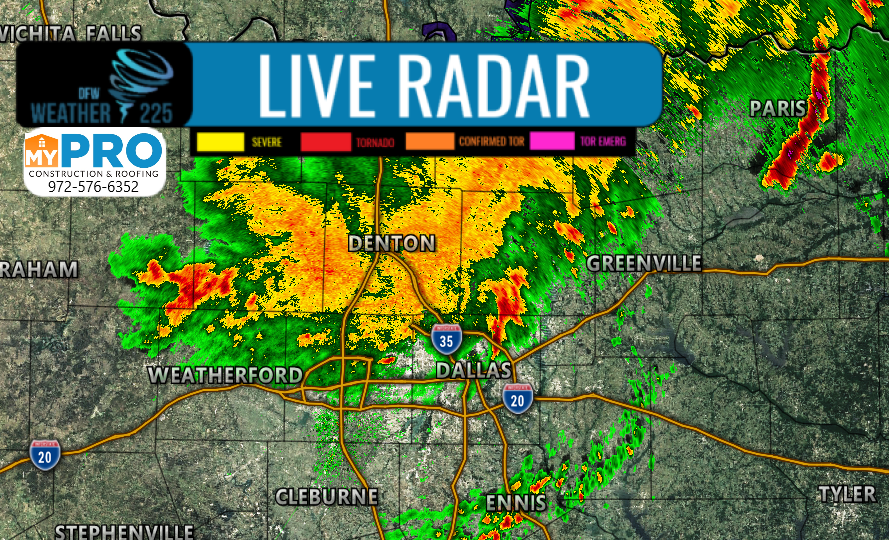
Well folks it looks like our Future-cast radar system was almost spot on with its predictions and timing for storms today, last night. Currently showers and non severe storms continue to move across parts of the area, producing lightning and heavy rain.

The severe weather threat has pretty much diminished for the DFW area, as rain continues to linger across the area. For our Southern counties south of I-20, we’ll be keeping an eye on storm activity, as possibly some conditions further south where there’s been little to almost no rain activity, could be favorable for some more activity. However, this isn’t a 100% guarantee, as models continue to show this current activity die off, leaving the rest of the afternoon almost rain free for our viewing area.
You can track this rain activity here with our interactive maps!
-JW

Leave a Reply