
As of 8:30am CDT, no current severe warnings are in effect for the viewing area, as a complex of showers and storms continues to push south towards the metroplex, at around 35-40mph. This complex of storms has had a history of producing gusty winds, and marginally severe hail around 1” in diameter or smaller. 40-50mph winds are still possible with some areas within this complex of storms.
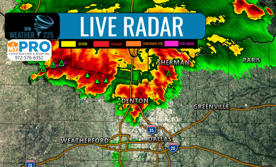
Ahead of the storms, outflow winds of 40-45mph, are currently moving through the metroplex area as well. So if you see ominous skies, and are experiencing gusty winds ahead of these storms that’s why.
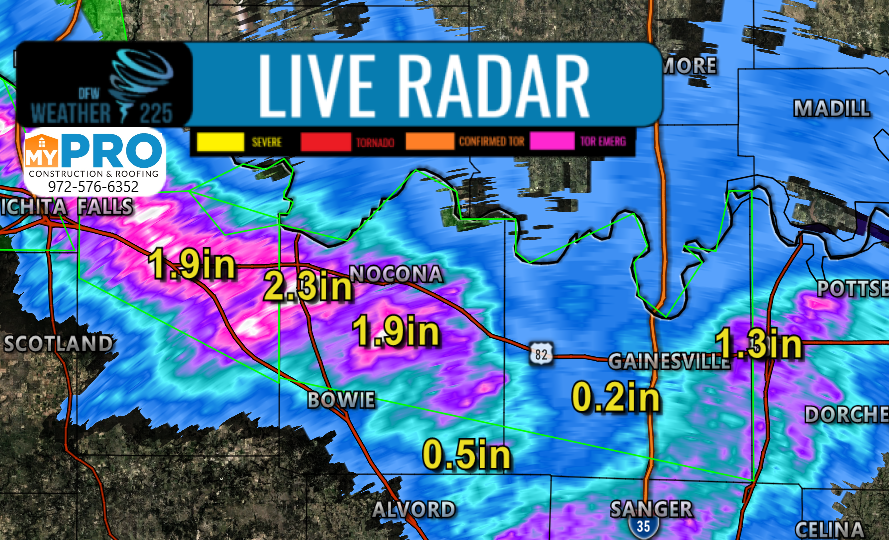
In addition to these storms, Flash Flooding is another concern, as these slow moving storms are producing up to 1-2” over the course of an hour or so.
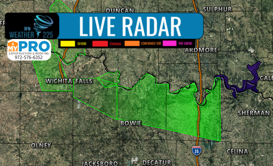
You can track this activity here on our site with our free interactive maps.
-JW
Leave a Reply