This evening we have the latest track on now Potential Tropical Cyclone Five, potential Tropical Storm Elsa.
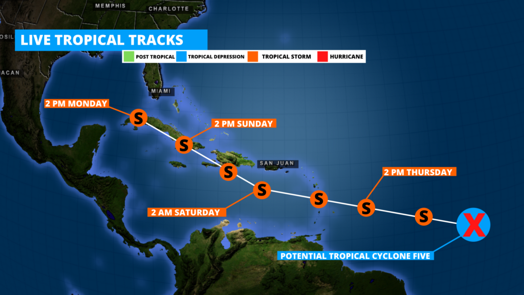
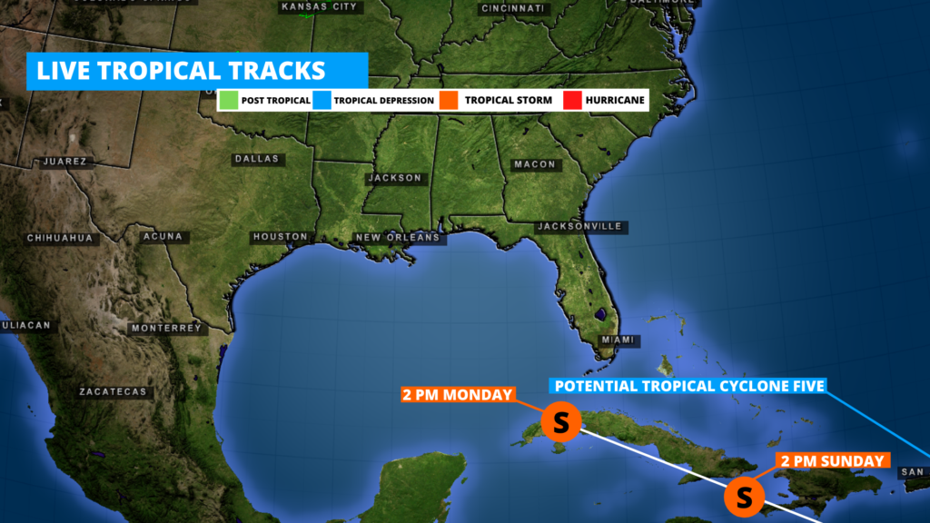
The National Hurricane Center issued an official forecast path for potential Tropical Cyclone Five this afternoon, showing this system is likely to strengthen by tomorrow, and become our next named storm of the season, Tropical Storm Elsa. The current path has this system moving into parts of Haiti by late Saturday, and Cuba by Monday. If the storm stays strong enough and on its current path, it could potentially make its way into the Gulf of Mexico, or come close to southern Florida.
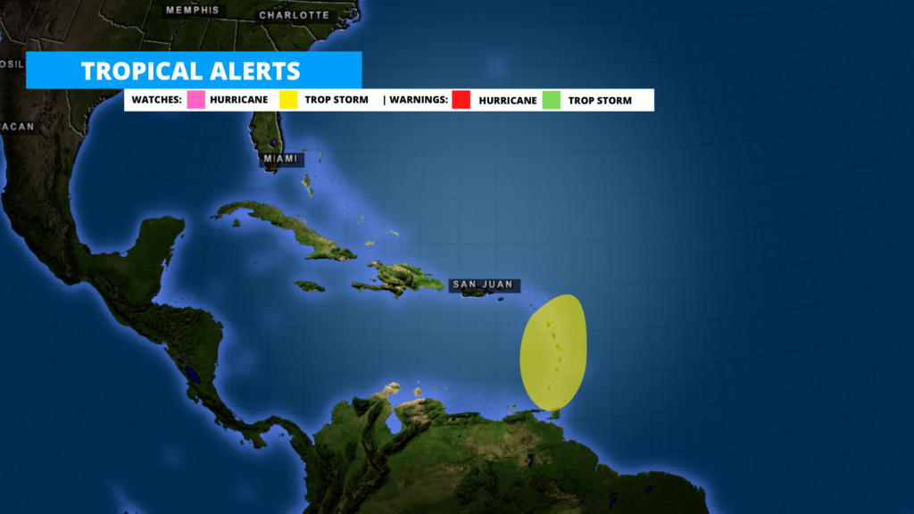
At this time Tropical Storm Watches have been issued for parts of the Saint Vincent and the Grenadines islands ahead of this developing system. Stay tuned for further alert updates from local officials, weather service, and Weather 225.
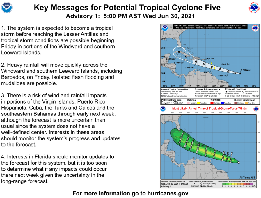
Above is the latest statement and key message from the National hurricane Center.
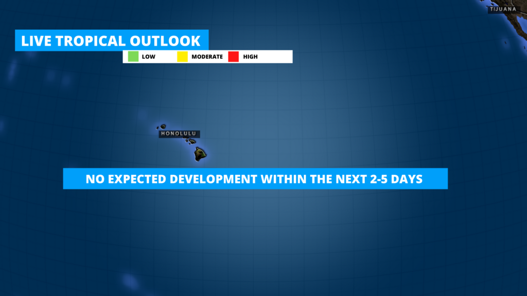
Elsewhere, no development is expected in the central Pacific near the islands of Hawaii within the next 2-5 days at this time.
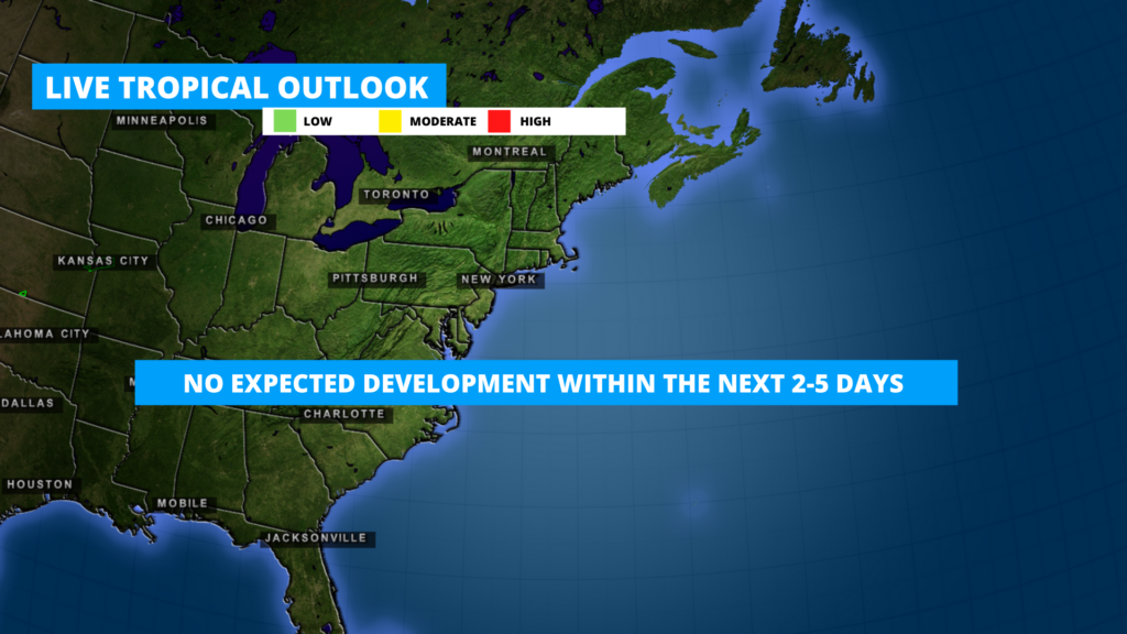
Along the Northeastern US coast, and northwestern Atlantic, no development is expected within the next 2-5 days at this time.

Follow our media for the latest. And view our Tropical Outlooks page for updates maps shown above, and our tropical map for an interactive look at the tropics as well.

Leave a Reply