
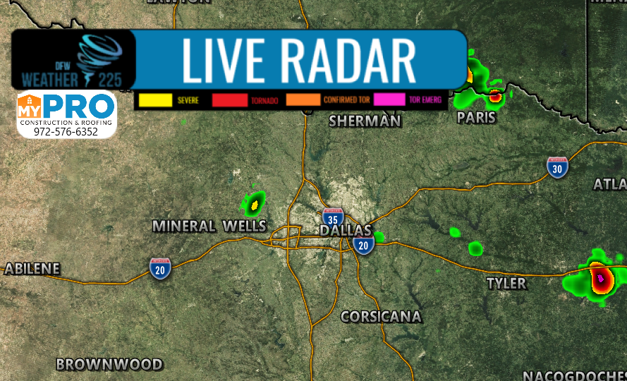
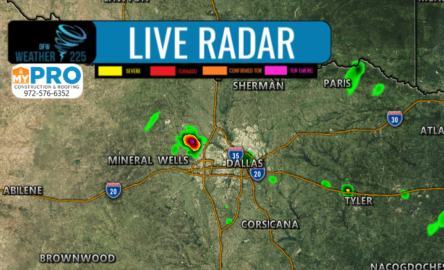
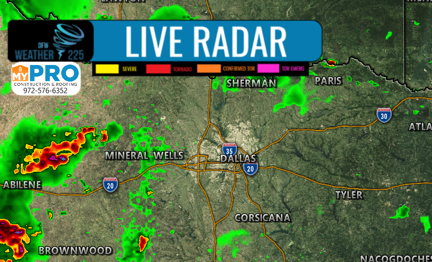
As mentioned earlier in our media posts, we said there could be a chance for another batch of storms across the area later today. Some could be strong to severe, however, NOT everyone will see rain/storm activity, or severe activity. Here’s the latest.
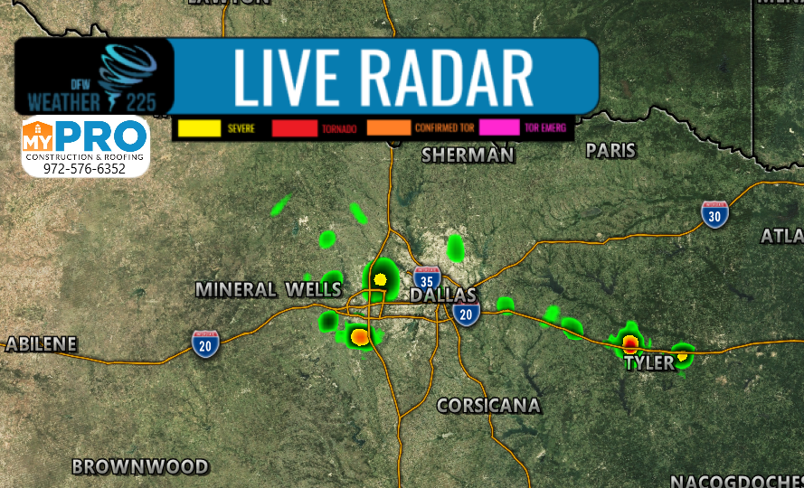
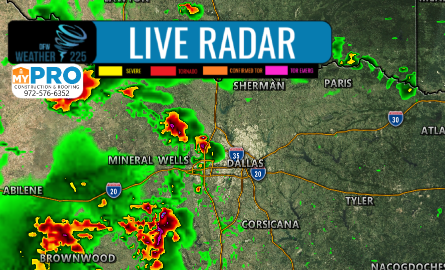
Above is our future cast radar’s current predictions with the HRRR, for possible activity later this afternoon into early evening.
While we have had rainfall across parts of NTX this morning, latest model guidance, and surface observations are showing that we may be able to see some storms pop up across parts of the area, as the atmosphere could destabilize enough for some activity. Clearing is occurring across parts of the area, and temperatures are still being projected in the mid 90s by this afternoon. But let’s be clear NOT everyone will see rain/storm activity, or even severe activity, if any pop up showers/storms develop.
Some storms that develop could see the potential for large hail between quarter to half dollar sized, as well as winds between 50-60mph. We’ll be keeping an eye on the sky this afternoon.
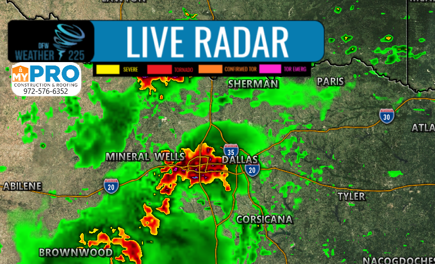
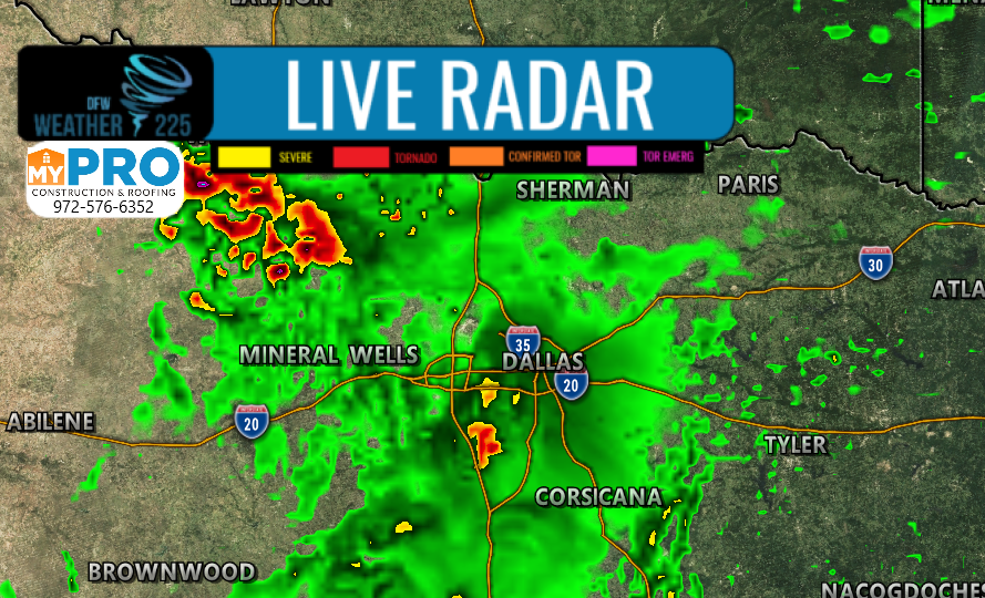
Next storm chances (as shown above) we’ll have to watch for will be early tomorrow morning between about 4am-12pm based on latest guidance. Some of these could be strong to possibly severe, however, this won’t be the case for every storm. Regardless, we could start off the day wet and rainy once again, as showers and general thunderstorms, could be widespread once again across the area.
Stay tuned for the latest updates, forecasts, and information right here with Weather 225
-JW
Leave a Reply