
We now have a high 70% chance for seeing some tropical development between the next 2-5 days, along the Eastern US Coast, as a broad area of low pressure (Invest 98L) was located along the coast of South Carolina, and continues to produce widespread shower/thunderstorm activity, and is expected to move into a more favorable environment. If this system develops we could potentially see our next named storm of the 2020 season, as Tropical Storm Fay. We’re monitoring this closely, stay tuned for the latest.
If The latest Tropical Weather Statement from the National Hurricane Center is bellow-
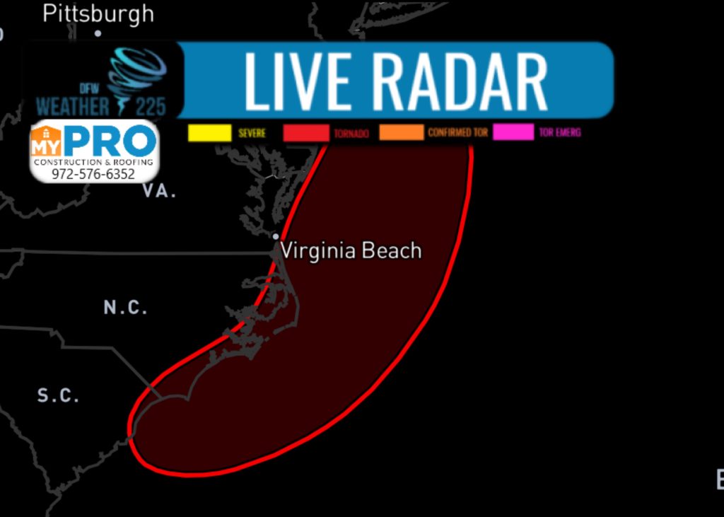
1. A broad area of low pressure located near the coast of northeastern  South Carolina continues to produce a large area of disorganized  showers and thunderstorms over the adjacent Atlantic waters and  portions of eastern North Carolina.  The low is expected to move  northeastward near or just offshore of the North Carolina Outer  Banks on Thursday, and then turn north-northeastward and move along  the mid-Atlantic coast Friday.  Environmental conditions are  expected to be conducive for development, and a tropical or  subtropical cyclone is likely to form within the next day or so.  Regardless of development, the system is expected to produce locally  heavy rainfall that could cause some flash flooding across portions  of eastern North Carolina, the coastal mid-Atlantic, and southern  New England during the next few days. Gusty winds are also possible  along the North Carolina Outer Banks through Thursday and along the  mid-Atlantic and southern New England coasts Friday and Saturday.   Interests in these areas should monitor the progress of this system  and refer to products from your local National Weather Service  office.

 Formation chance through 48 hours...high...70 percent.

 Formation chance through 5 days...high...70 percent.
Leave a Reply