Good morning here’s a quick update on tonight’s storm chances today and overnight.
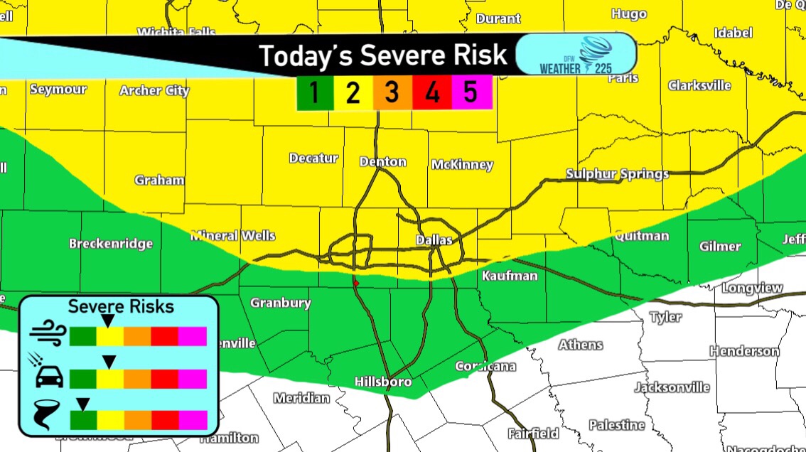
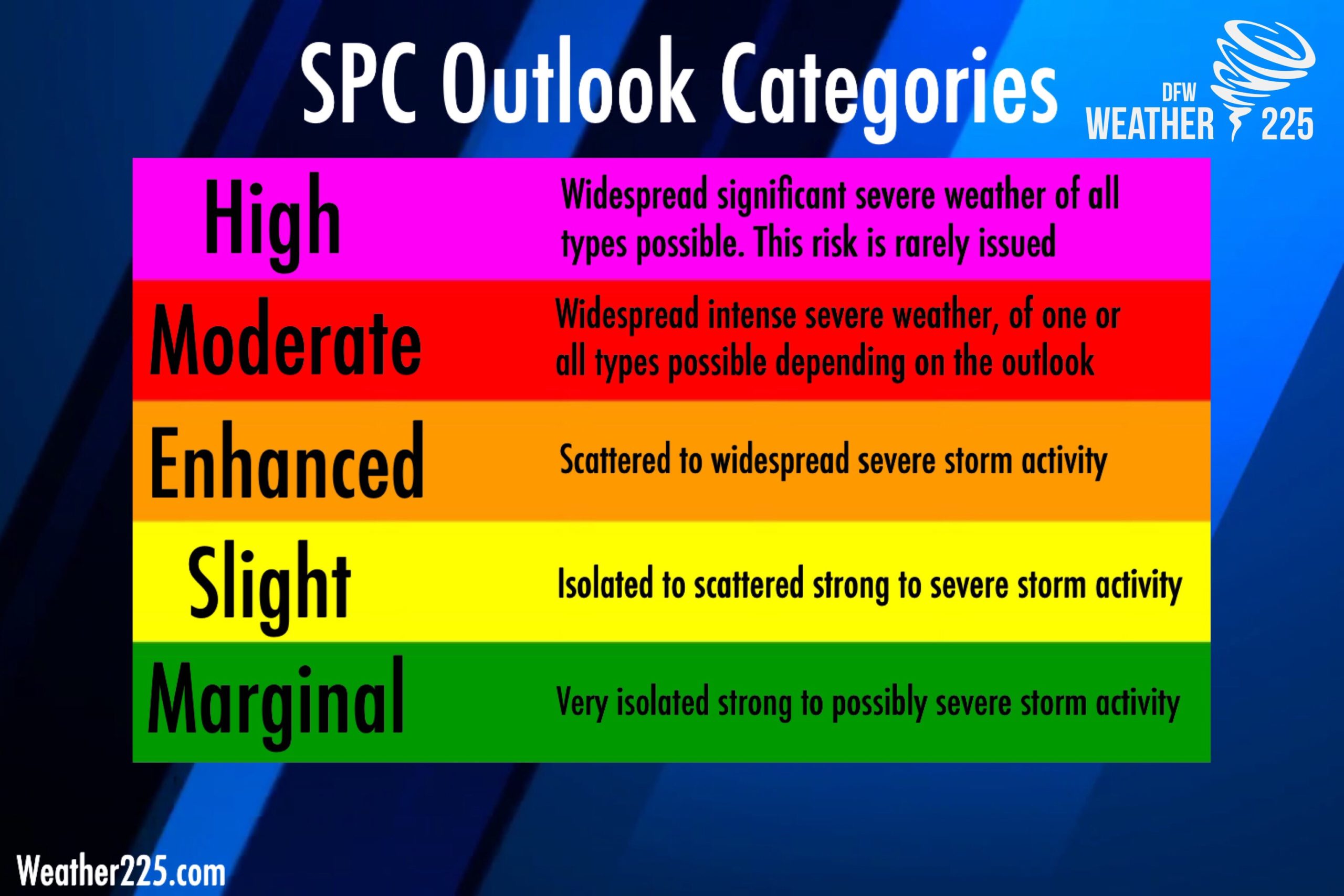
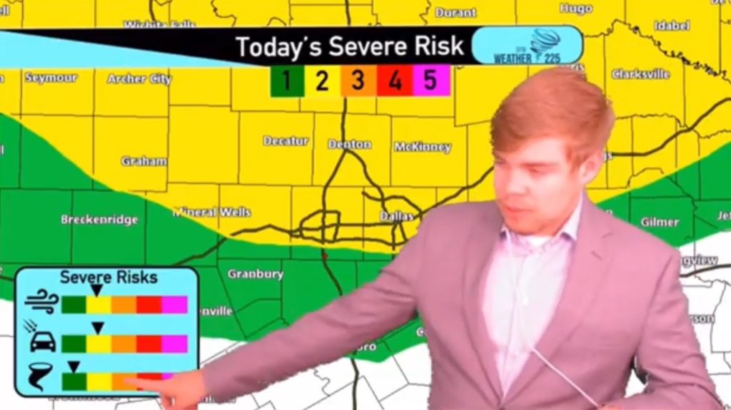
First, the Storm Prediction Center has placed a large portion of North Texas under a (2/5 yellow) Slight Risk, or (1/5 green) Marginal Risk for storm coverage. Remember these risks aren’t just issued on storm intensity, they’re issued on where confidence is best for storm coverage. The meanings of each outlook is shown in the graph bellow
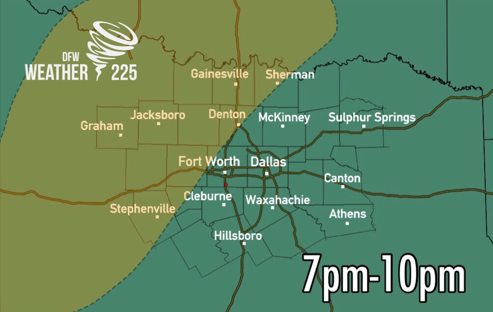
To be clear and to ease any fear, NOT everyone will see severe storm activity. At this time there looks to be two rounds of activity. The first round would be for areas west of I-35 as some isolated storms could develop in Northwestern North Texas this evening. Timing for storms in our Western and Northwestern counties looks to be from 7pm-10pm.
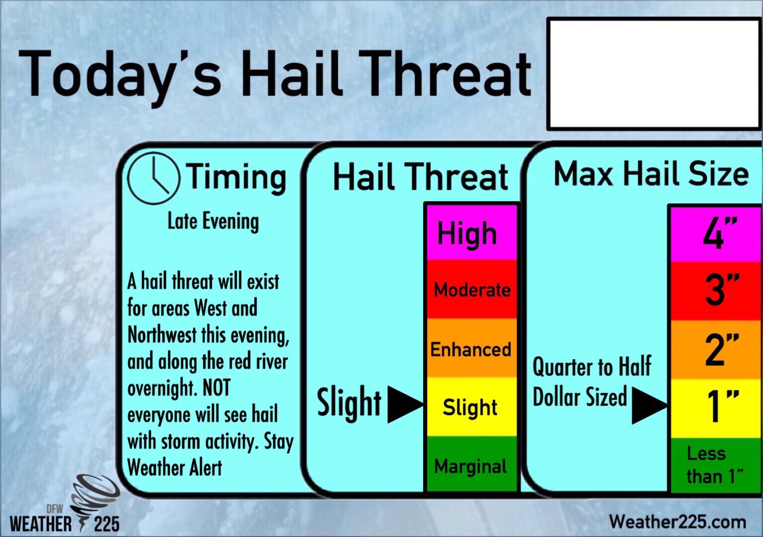
Hazards with storms West today, would be Damaging Winds of 55-65mph, and Large hail up to Half Dollar sized. A tornado cannot be ruled out as well, however, the tornado threat looks to be better further west of the areas we cover.
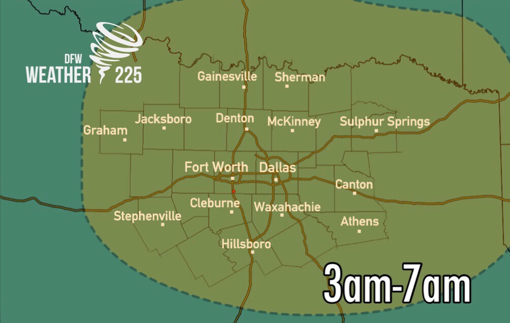
The second round of storms would arrive overnight into early tomorrow morning, as a skinny line of storms develops in Southern Oklahoma and moves south across the Red River south into North Texas. These (not all) could be strong to severe. Timing looks to be from 3am-7am.
Watch today’s video Forecast for more here Or by clicking the image bellow
Stay tuned with weather 225 for the latest throughout the day if anything changes. Otherwise, there’s nothing to fear, NOT everyone will see severe weather. Just stay weather alert and stay tuned to Weather 225, and enjoy the day.

Leave a Reply