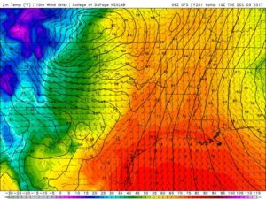
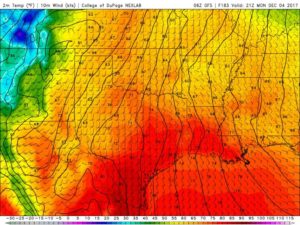
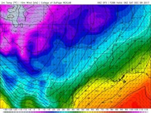
Before we get into this Extended forecast please note this is one model, and its a week out so there is still some time before then where the forecast can dramatically change. Check back later this week for updates on the forecast.
Good morning NTX! As we previously mentioned in our last post, some models were showing signs that our next rain chances could be possible in the first week of December. The GFS (American Model) continues its trends and is forecasting a large low pressure system will build up over the south western US Sunday, before moving south east in our direction.

Exact timing on its arrival for now is hard to say, however the best guess would be Monday & Tuesday of next week. If this systems moves into NTX we could see the possibility for showers and thunderstorms across the area (and when we mention thunderstorms we don’t mean severe weather, its to far out to determine that at this time). Any rain chances would be well welcomed as we’ve mentioned before much of NTX is under moderate to severe drought conditions, and we have not seen a drop of rain since November 8th! And we close meteorological fall as the 12th driest on record.


Another noticeable part of this forecast is that we could see a pretty good temperature drop following this system, as the GFS is projecting unseasonable highs Monday and Tuesday in the mid to upper 70s before dipping into lows in the 30s! Remember this is a long range forecast and its not 100% accurate, there’s still time as we previously said between now and then to refine the forecast. And there is a chance we could stay completely dry and nothing would come from this system. Enjoy the week, we’ll keep you updated if anything changes.

Leave a Reply