
There’s a chance we could see some showers/storms develop out in Western NTX, out towards our far Western counties this afternoon and early evening. Some (NOT all) of these storms could reach strong to severe levels. However, not everyone will see strong, or even general shower/storm activity. Coverage will be around 10-20%.
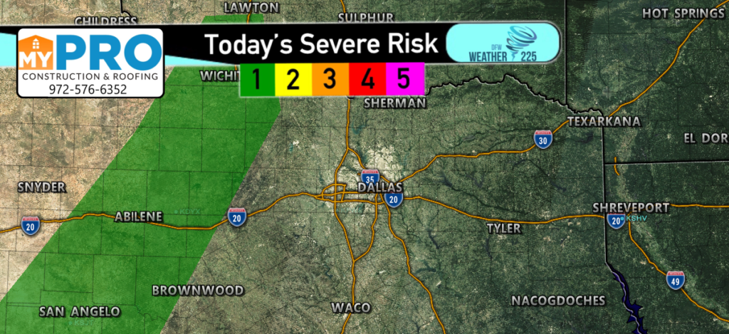
The Storm Prediction Center has once again placed a low (1/5) Marginal Risk for storms over parts of Western North Texas, for possible development later this afternoon and early evening. It’s something to keep an eye on, however, to lower any fears, this isn’t anything major, just the possibility for a few pop up storms. Widespread severe weather is not expected. This activity would stay well West of I-35.
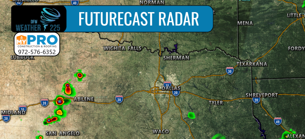
Timing for any activity would be between 4-7pm. The main hazards would be for hail around quarter sized, as well as 60mph winds with the strongest storms.
View this daily risk map, and outlook meanings with our daily severe weather risk page.
Keep up with the latest with Weather225. And track any activity with our interactive radar maps
-JW
Leave a Reply