Welcome to Weather 225! Here’s a quick overview on how to navigate through our site, and how to use some of our maps and features.
View all of our forecasts, maps, safety tips and more by clicking our menu. On our mobile site, our menu is at the top of the page with 3 lines, click on it, and the menu will drop down.
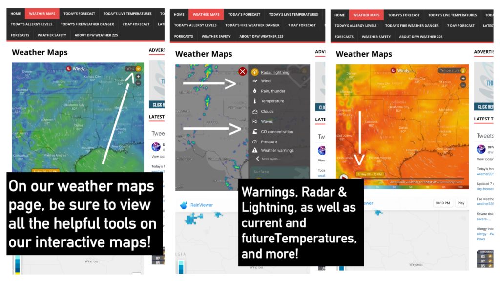
On our Weather Maps Page, be sure to use all the helpful features with our interactive maps. With our first map that says “Windy”, click the icon on the top right side of the interactive map that says “wind” (as shown above) to access all the helpful features on that map, including radar & lightning feed, active watches/warnings, and a temperature map that you can drag to see current and future temperatures.
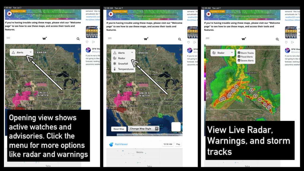
To view and use all of the helpful tools, like radar with storm tracks, and warnings, including the warning text when you click on the warning, with our second map on our “weather maps” page, simply click on the menu on the map, located on the top left side of the interactive map. The opening view always will show just live watches, and advisories. Warnings will be shown once you click on “radar” on the menu.
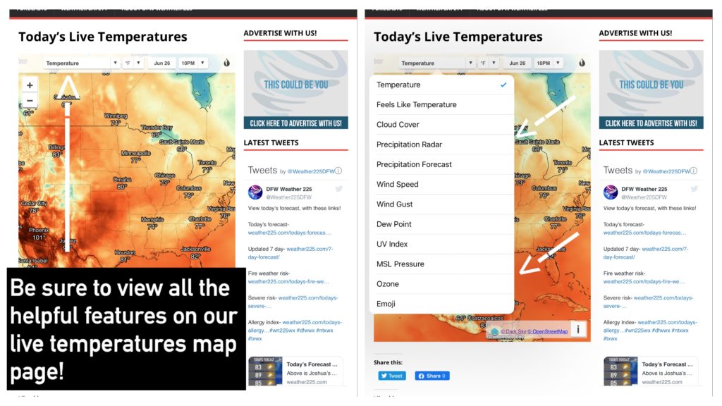
On our daily live temperatures map, be sure you also view all of the helpful features with that interactive map as well, by clicking the bar on the top of the map that says “temperatures” (as shown above). Once you click on that, a menu will drop down with other helpful tools such as Heat Index values, dew points, UV Index, wind speed, and more.
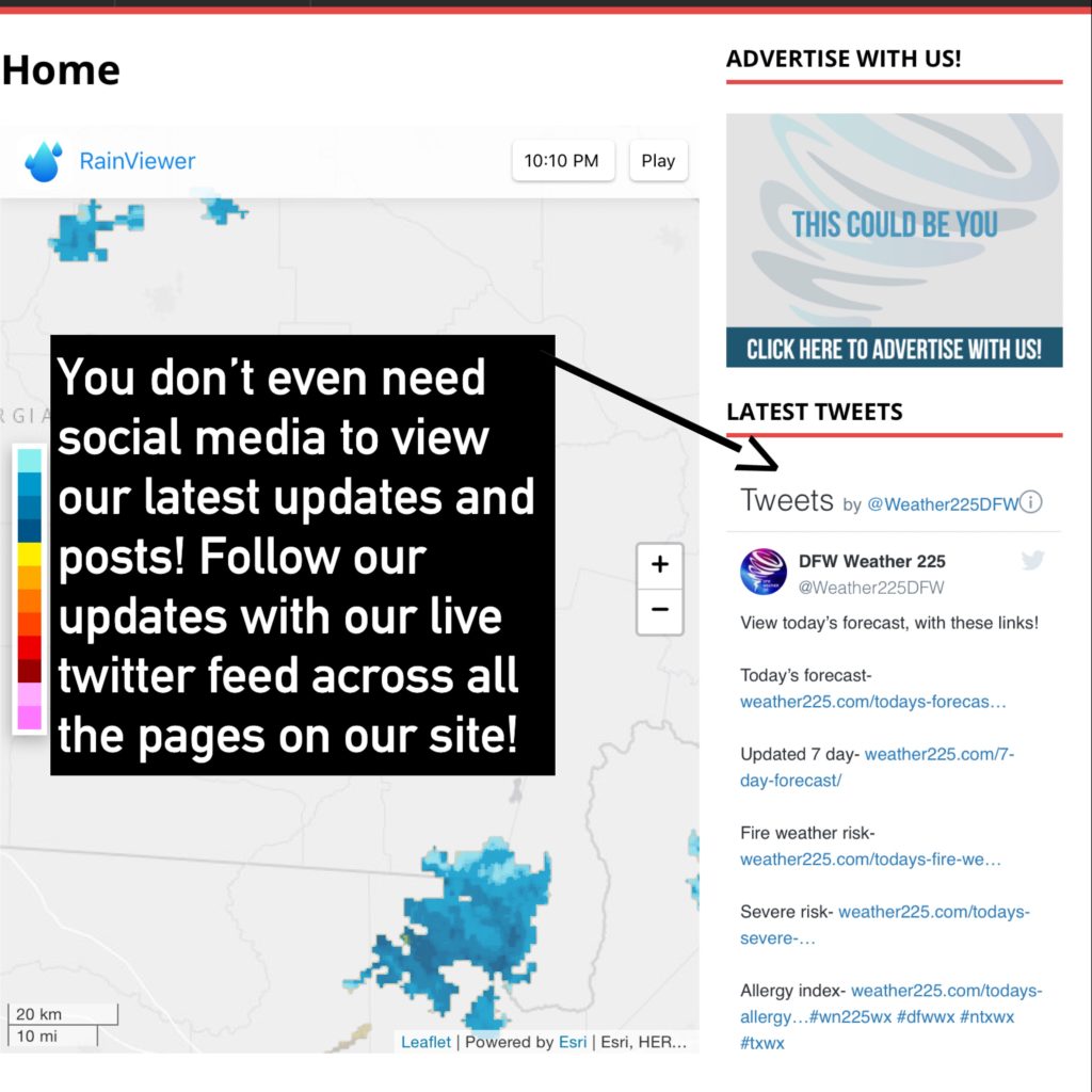
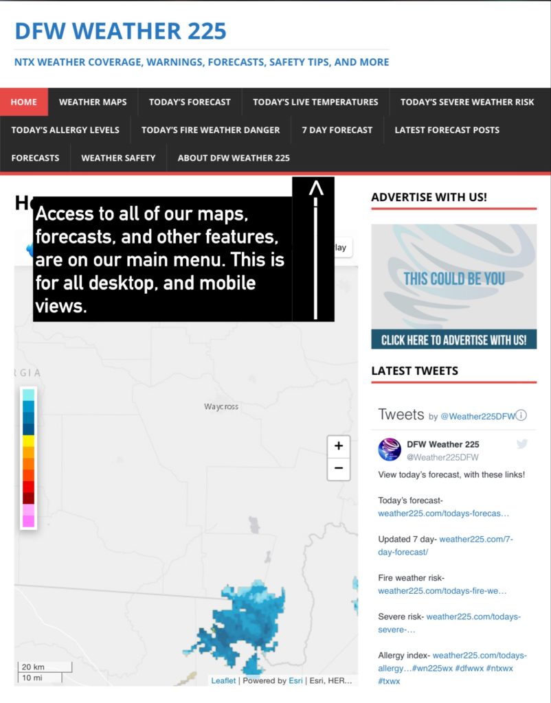
You don’t need social media to follow our latest media updates! You can view our live twitter feed on the side of all of our pages, for the latest warnings, updates, or random weather related posts 24/7.

You can support our page by sharing our pages, or liking them. You can also click on our advertisement photos, to view our sponsors. Be sure you also follow our social media sites.
To learn more about us, or to contact us about advertising, visit our “About” page for more!