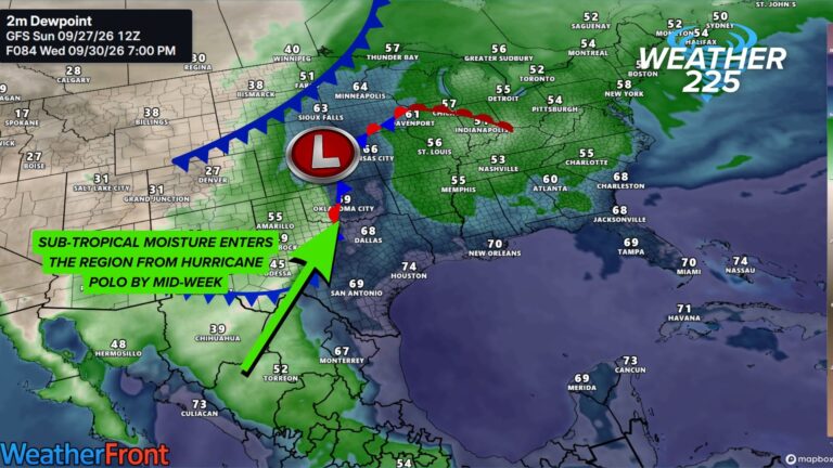
Fayetteville, ARK– This evening we have a chance to see some showers and thunderstorms across the area, including the potential for maybe a few strong to severe storms. Widespread severe weather is not anticipated but one or two storms could reach strong to severe limits.

There is a LOW risk for a few strong to severe storms across parts of the area. This is not the highest risk we’ve ever seen in this area, and NOT everyone will see storms or severe weather. But it’s a risk to be mindful of just in case.
Risks
Main risks with storms this evening will be mainly damaging winds and large hail. There is also a very low but not zero risk for a tornado.
Timing
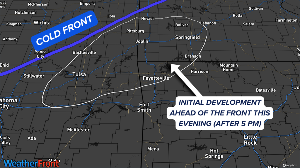
Timing for activity looks to be during the evening hours once this approaching cold front arrives in the area. Main timing looks to be after 6 PM.


There’s been some back and forth between the models on where initial storms will develop ahead of and along the front. Some outputs put the development taking place further south closer to the I-40 corridor. While others like the Future-Scan radar shown above, have development initiating near Joplin to Tulsa.
So what should you do?
Don’t panic over the risk and don’t overly worry about it. It’s a low risk and NOT everyone will see strong to severe storms or even storms in general. BUT that also doesn’t mean you should fully ignore the risk either.
Just have ways to receive alerts this evening and late tonight and you’ll be just fine.
You can find our weather safety tips here.
About the Author